JDF REGIONAL
|
 |
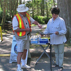
"Thieves Beware. ParkWatch
Patrol is here." Map of Park Watch coverage area
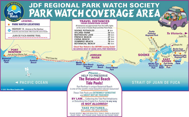
Parks that the JDF Regional Park Watch Society covers with travel distance from downtown Sooke:
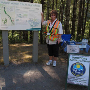
Map:Sooke Potholes Regional Park (CRD)~ 8 km
|
|
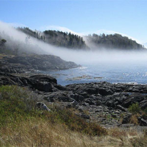
| East Sooke Park (CRD) Aylard Farn entrance ~ 20 km |
|
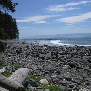
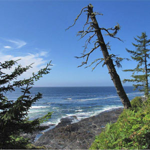
| East Sooke Park (CRD) Pike Road entrance ~ 20 km | 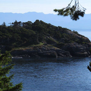 Waterfront view: Pike Road entrance of East Sooke Park |
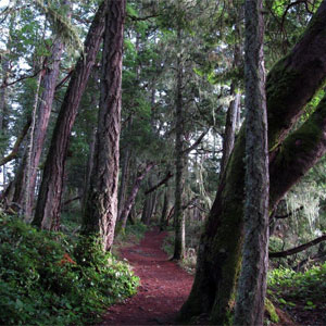
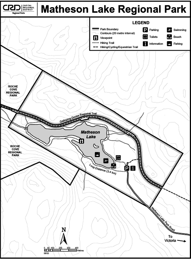
| Matheson Lake Park (CRD) ~ 30 km | 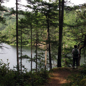 Trail at Matheson Lake Park |
China Beach ~ approx 40 km China beach and Mystic beach share the same turn-off from West Coast Road, and you can walk from one parking lot to the other. The beaches are separated by a rock so even at low tide, you can not walk from one beach to the other. |
 China Beach |
| Sandcut Beach ~ approx 35 km | |
| French Beach ~ approx 32 km | |
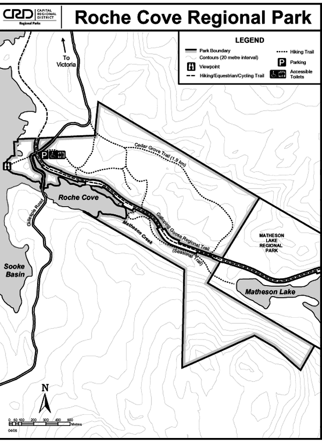
| Roche Cove Park (CRD) ~ 25 km Maps | |
| Whiffin Spit Provincial Park ~ 8 km | |
| Botantical Beach (Port Renfrew) ~ 93 km |
|
| Sombrio Beach ~ 80 km | |